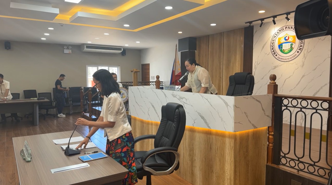
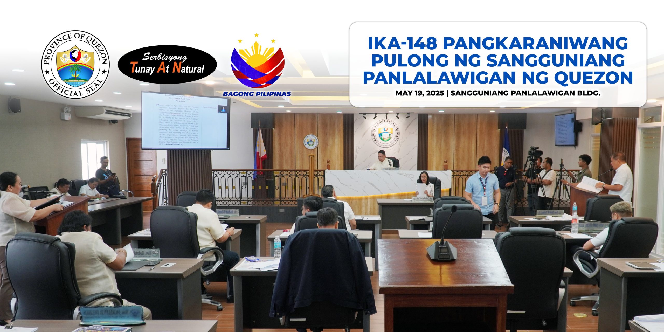
148th Sangguniang Panlalawigan Regular Session | May 19, 2025
Pormal na ginanap ang ika-148 Pangkaraniwang Pulong ng Sangguniang Panlalawigan ngayong araw ng Lunes, Mayo 19 sa Sangguniang Panlalawigan Building Governor’s Mansion Compound, Lucena City.
Dumalo rito ang mga Board Member na kinatawan ng bawat distrito sa lalawigan kung saan naaprubahan ang mga Ordinansa, Resolusyon, Atas tagapag paganap at iba pang liham, alinsunod sa higit pang pagpapaunlad at pagpapatatag ng lalawigan ng Quezon.
Kaugnay nito, idineklarang wasto ang ordinansa na isinulong ni Board Member at Committee on Education Hon. Claro M. Talaga, Jr. ang liham mula kay Governor Doktora Helen Tan na humihiling ng pag-apruba sa isang resolusyon na nagbibigay pahintulot sa kanya na makipagkasundo sa isang Memorandum of Understanding (MOU) sa ngalan ng Pamahalaang Panlalawigan ng Quezon at Southern Luzon State University (SLSU) para sa pagpapatupad ng Rapid Appraisal Analysis ng Cities and Municipalities Competitiveness Index (CMCI).
Samantala, aprobado ang ordinansa na isinulong ni Board Member at Committee on Disaster Management Hon. Vinnette Alcala-Naca ang isang resolusyon na nagbibigay ng awtorisasyon sa Punong Lalawigan na makipagkasundo sa isang Memorandum of Understanding (MOU) sa ngalan ng Pamahalaang Panlalawigan ng Quezon, kasama ang iba’t ibang Lokal na Pamahalaan (LGUs), para sa layuning maisulong ang kapwa pagbabahagi ng teknikal na tulong at mapahusay ang bisa ng mga gawain kaugnay ng kahandaan, pagtugon, at pagbangon mula sa mga sakuna.
Ang mungkahing ito ay alinsunod sa mga probisyon ng Republic Act No. 10121, na mas kilala bilang Philippine Disaster Risk Reduction and Management Act of 2010.
For more details, visit this link: https://www.facebook.com/QuezonGovPh/posts/pfbid02LziiPboPCwBN5jvyTcVxyvwRpJr8FvrDzusygi4iQcxZ7Fhv3L4ze9hMkbMiPDG1l
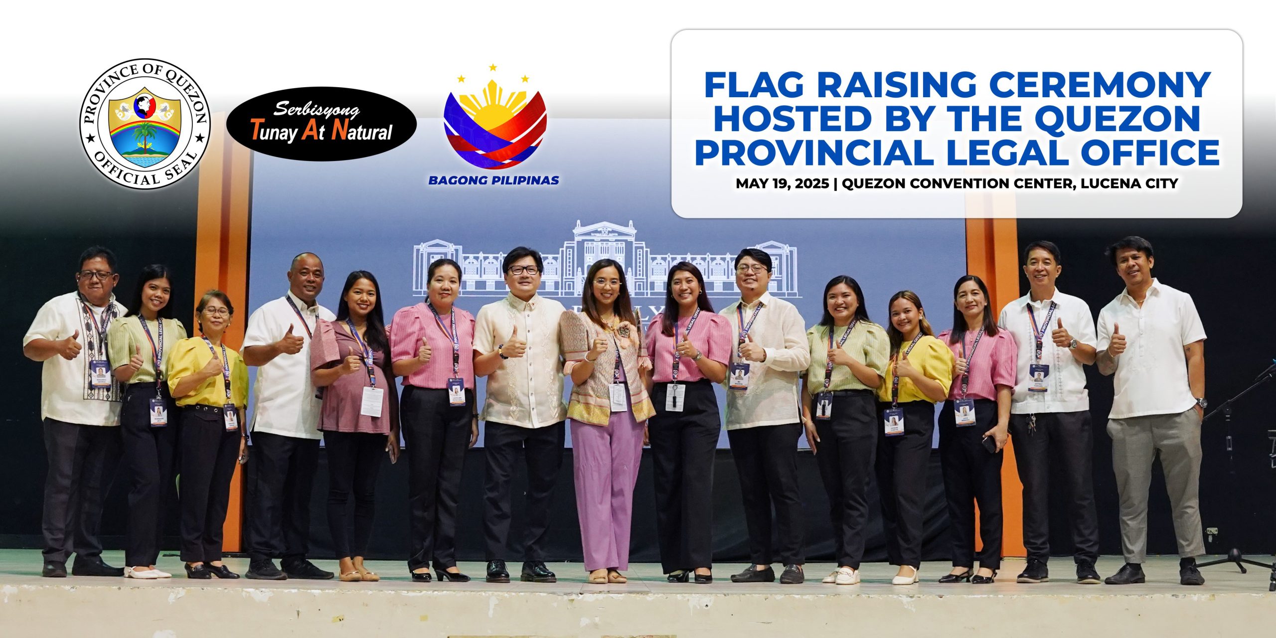
#SerbisyongTunayAtNatural
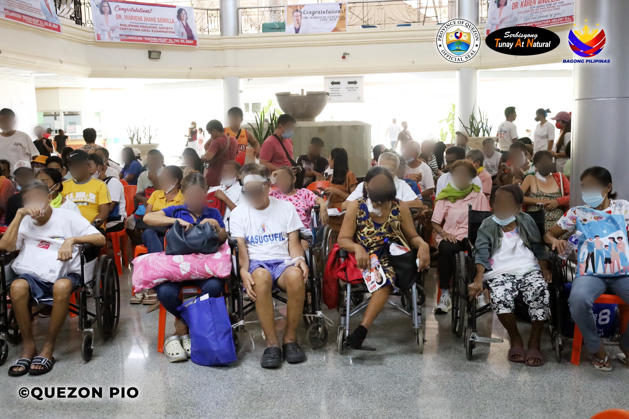
#HEALINGQuezon
Quezon PIO