

Tropical Cyclone Bulletin No. 25 Severe Tropical Storm #KristinePH (TRAMI) 5:00 AM, 25 October 2024
“KRISTINE” MAINTAINS ITS STRENGTH AS IT ACCELERATES WEST NORTHWESTWARD OVER THE SEA WEST OF NORTHERN LUZON
LOCATION: 125 km West Northwest of Bacnotan, La Union (17.1 °N, 119.3 °E )
MOVEMENT: Moving West Northwestward at 25 km/h
STRENGTH: Maximum sustained winds of 95 km/h near the center and gustiness of up to 115 km/h
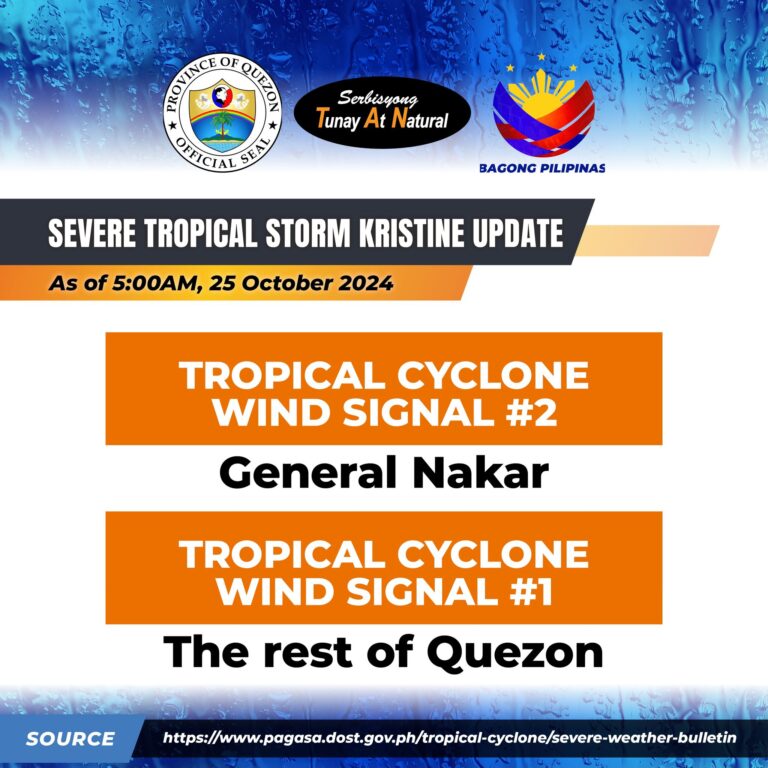
Tropical Cyclone Wind Signal no.2: GENERAL NAKAR
Tropical Cyclone Wind Signal no.1: THE REST OF QUEZON
KRISTINE is forecast to move west northwestward to westward over the next 48 hours and exit the Philippine Area of Responsibility (PAR) region this afternoon.
In the extended outlook, there is a developing forecast situation wherein KRISTINE will be looping over the West Philippine Sea on Sunday and Monday and move generally eastward towards the general direction of the PAR region. However, this scenario heavily depends on the behavior of the tropical cyclone east of the PAR region.
Quezon PIO