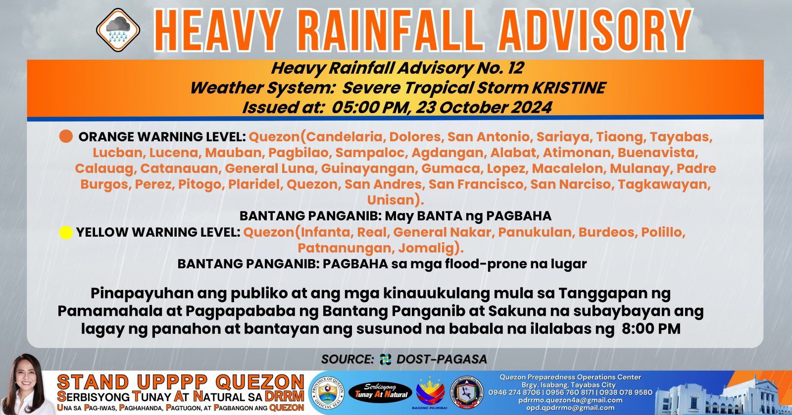
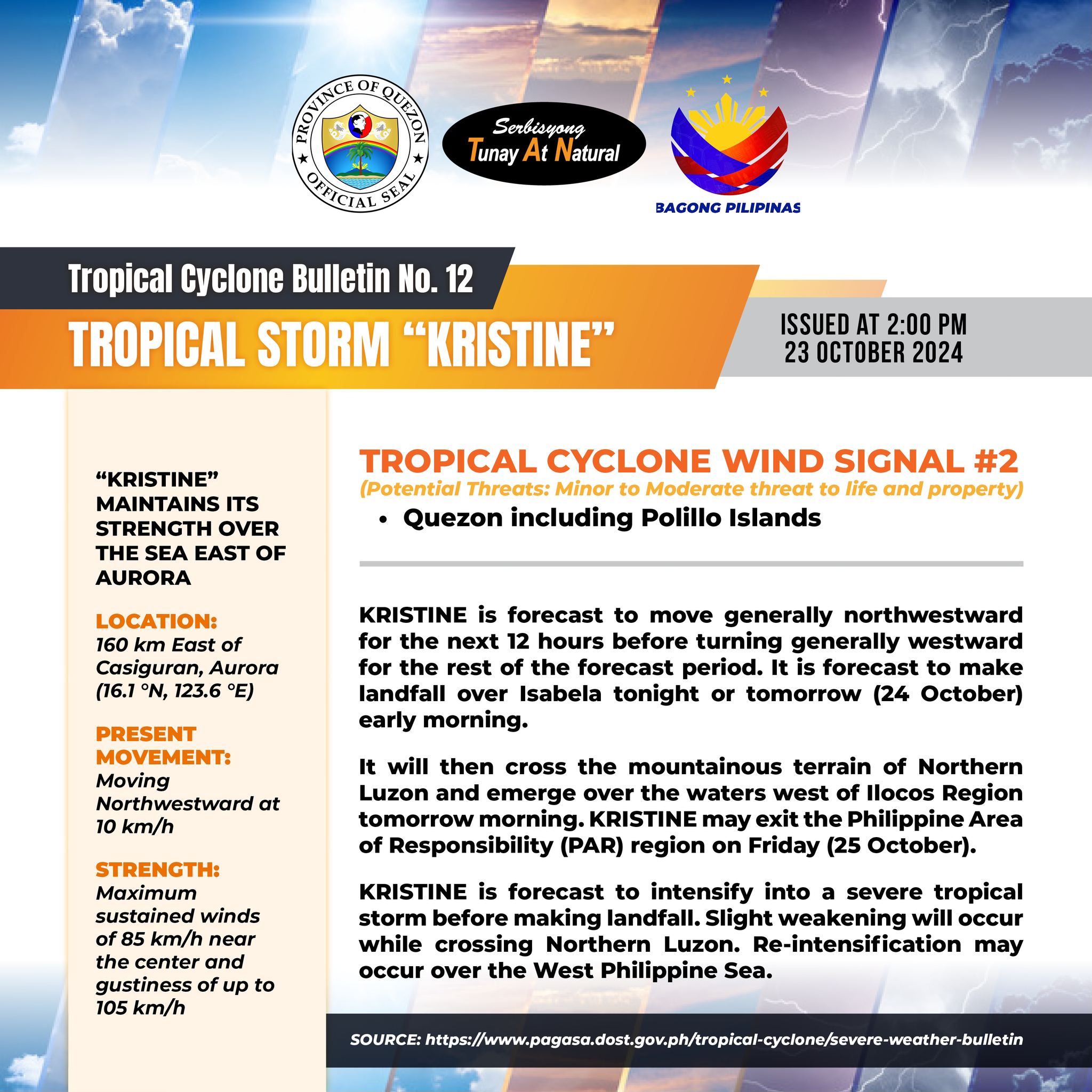
𝐇𝐞𝐚𝐯𝐲 𝐑𝐚𝐢𝐧𝐟𝐚𝐥𝐥 𝐖𝐚𝐫𝐧𝐢𝐧𝐠 𝐍𝐨. 𝟏𝟐 𝐖𝐞𝐚𝐭𝐡𝐞𝐫 𝐒𝐲𝐬𝐭𝐞𝐦: 𝐒𝐞𝐯𝐞𝐫𝐞 𝐓𝐫𝐨𝐩𝐢𝐜𝐚𝐥 𝐒𝐭𝐨𝐫𝐦 𝐊𝐑𝐈𝐒𝐓𝐈𝐍𝐄 𝐈𝐬𝐬𝐮𝐞𝐝 𝐚𝐭: 𝟓:𝟎𝟎 𝐏𝐌, 𝟐𝟑 𝐎𝐜𝐭𝐨𝐛𝐞𝐫 𝟐𝟎𝟐𝟒 (𝐖𝐞𝐝𝐧𝐞𝐬𝐝𝐚𝐲)
 ORANGE WARNING LEVEL: Quezon(Candelaria, Dolores, San Antonio, Sariaya, Tiaong, Tayabas, Lucban, Lucena, Mauban, Pagbilao, Sampaloc, Agdangan, Alabat, Atimonan, Buenavista, Calauag, Catanauan, General Luna, Guinayangan, Gumaca, Lopez, Macalelon, Mulanay, Padre Burgos, Perez, Pitogo, Plaridel, Quezon, San Andres, San Francisco, San Narciso, Tagkawayan, Unisan).
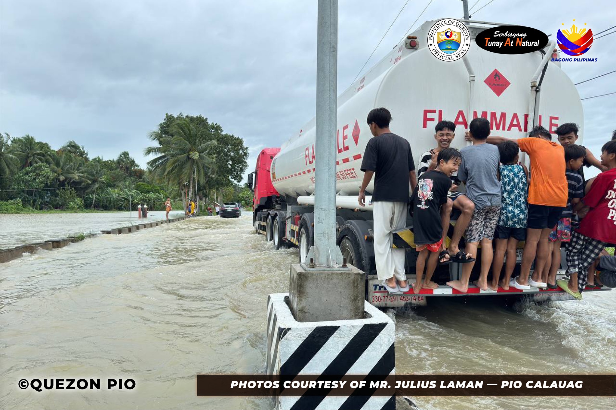
BANTANG PANGANIB: May BANTA ng PAGBAHA
 YELLOW WARNING LEVEL: Quezon(Infanta, Real, General Nakar, Panukulan, Burdeos, Polillo, Patnanungan, Jomalig).
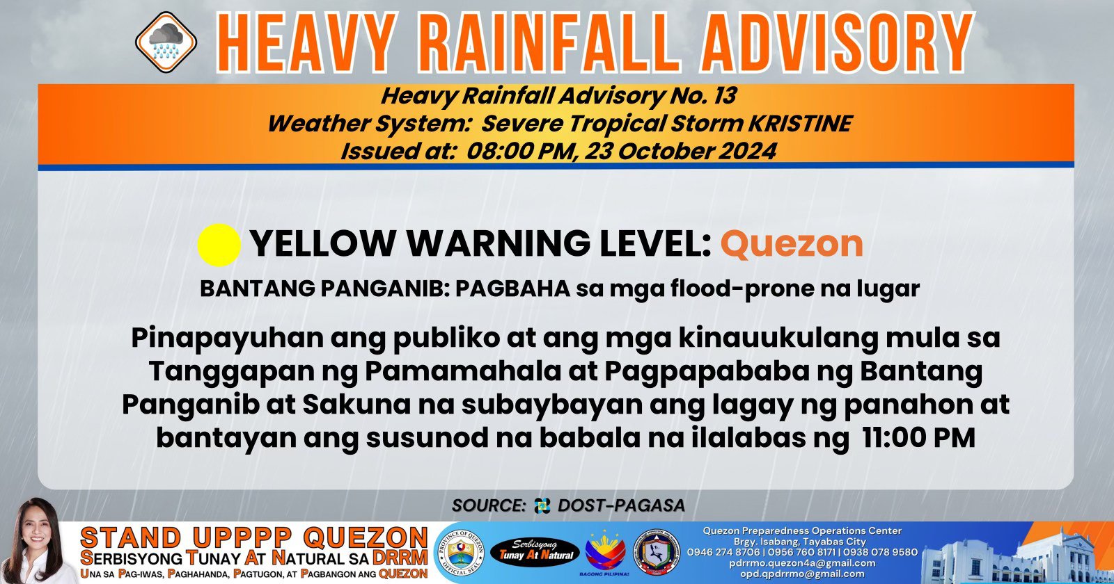
BANTANG PANGANIB: PAGBAHA sa mga flood-prone na lugar
Pinapayuhan ang publiko at ang mga kinauukulang mula sa Tanggapan ng Pamamahala at Pagpapababa ng Bantang Panganib at Sakuna na subaybayan ang lagay ng panahon at bantayan ang susunod na babala na ilalabas ng 8:00 PM
Link:
https://www.facebook.com/QuezonGovPh/posts/pfbid02K9gtabzBHgWkDe8vvxxav7Qc9vuKkqdWFYdBsr7Wkq1jNjdEDPpTFGY8fuGZ3zPpl?rdid=lFEqaZuI04rfRt24
Quezon PIO