Tropical Cyclone Bulletin #15 Super Typhoon “Leon” Issued at 11:00 am, 30 October 2024
“LEON” CONTINUES TO THREATEN EXTREME NORTHERN LUZON AS IT INTENSIFIES INTO A SUPER TYPHOON
Location: 350 km East of Calayan, Cagayan (19.3 °N, 124.8 °E )
Movement: Moving West Northwestward 10 km/h
Strength: Maximum sustained winds of 185 km/h near the center and gustiness of up to 230 km/h
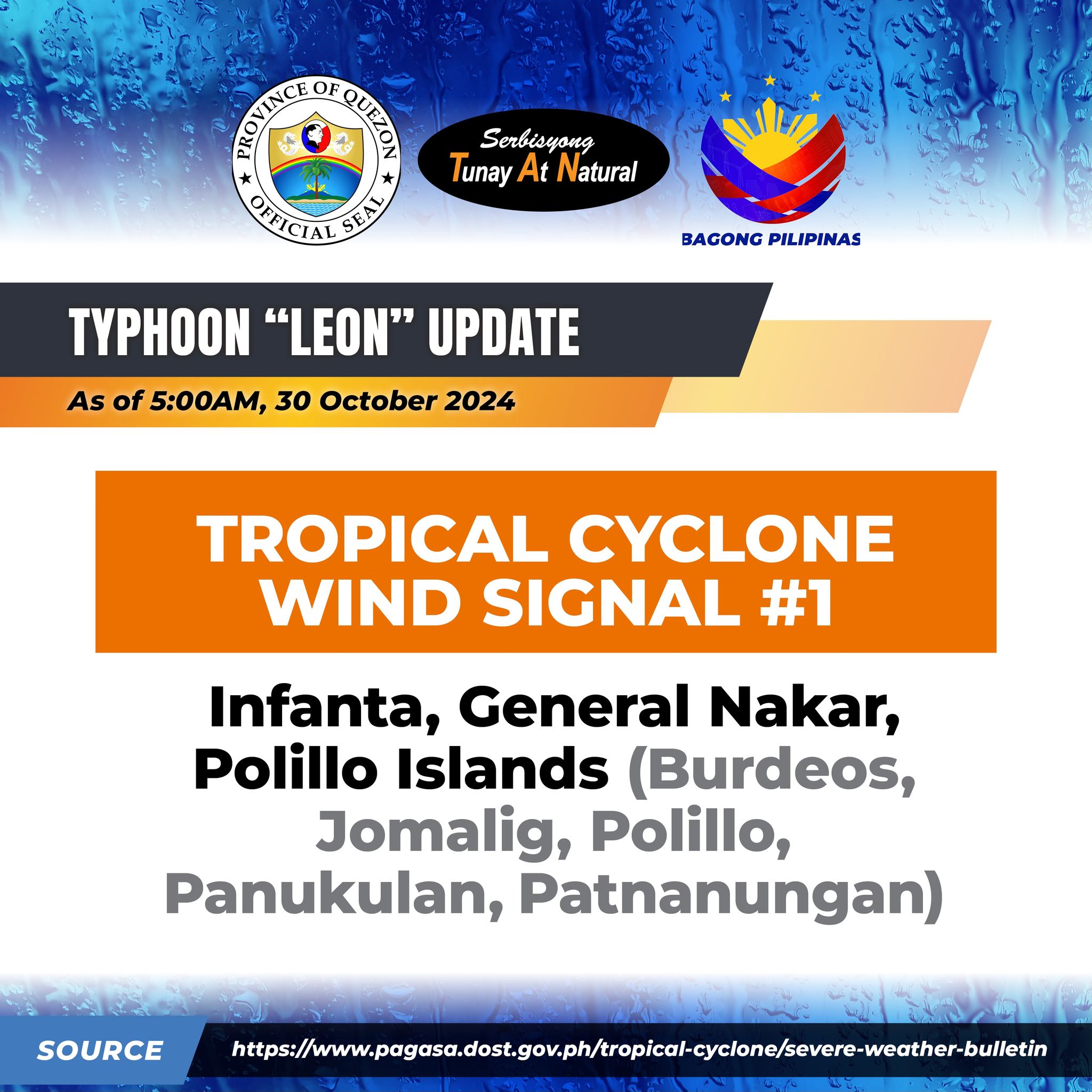
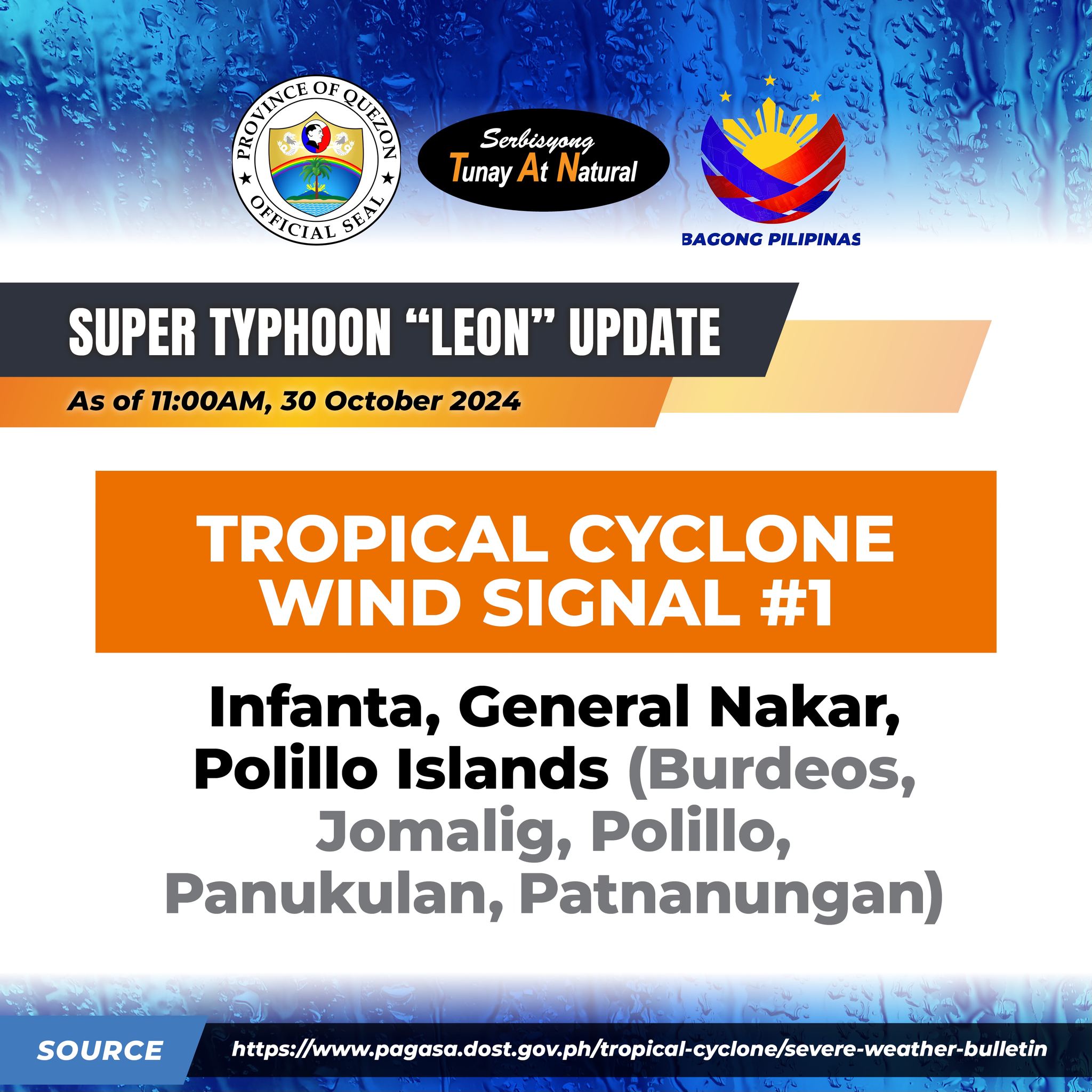
Tropical Cyclone Wind Signal no. 1: Infanta, General Nakar, Polillo Islands (Burdeos, Jomalig, Polillo, Panukulan, Patnanungan)
LEON is forecast to move northwestward over the Philippine Sea until it makes landfall along the eastern coast of Taiwan tomorrow (31 October) afternoon. After crossing the landmass of Taiwan, LEON will then turn north northwestward to northeastward over the Taiwan Strait towards the East China Sea and exit the Philippine Area of Responsibility tomorrow evening or Friday early morning (1 November). A second landfall over mainland China is not ruled out during this period.
Quezon PIO