Tropical Cyclone Bulletin #4 Severe Tropical Storm “Nika” Issued at 05:00 am, 10 November 2024
“NIKA” INTENSIFIES INTO A SEVERE TROPICAL STORM AND IS CURRENTLY UNDERGOING RAPID INTENSIFICATION.
Location: 690 km East of Infanta, Quezon (15.0 °N, 128.1 °E )
Movement: Moving West Northwestward 30 km/h
Strength: Maximum sustained winds of 100 km/h near the center and gustiness of up to 125 km/h
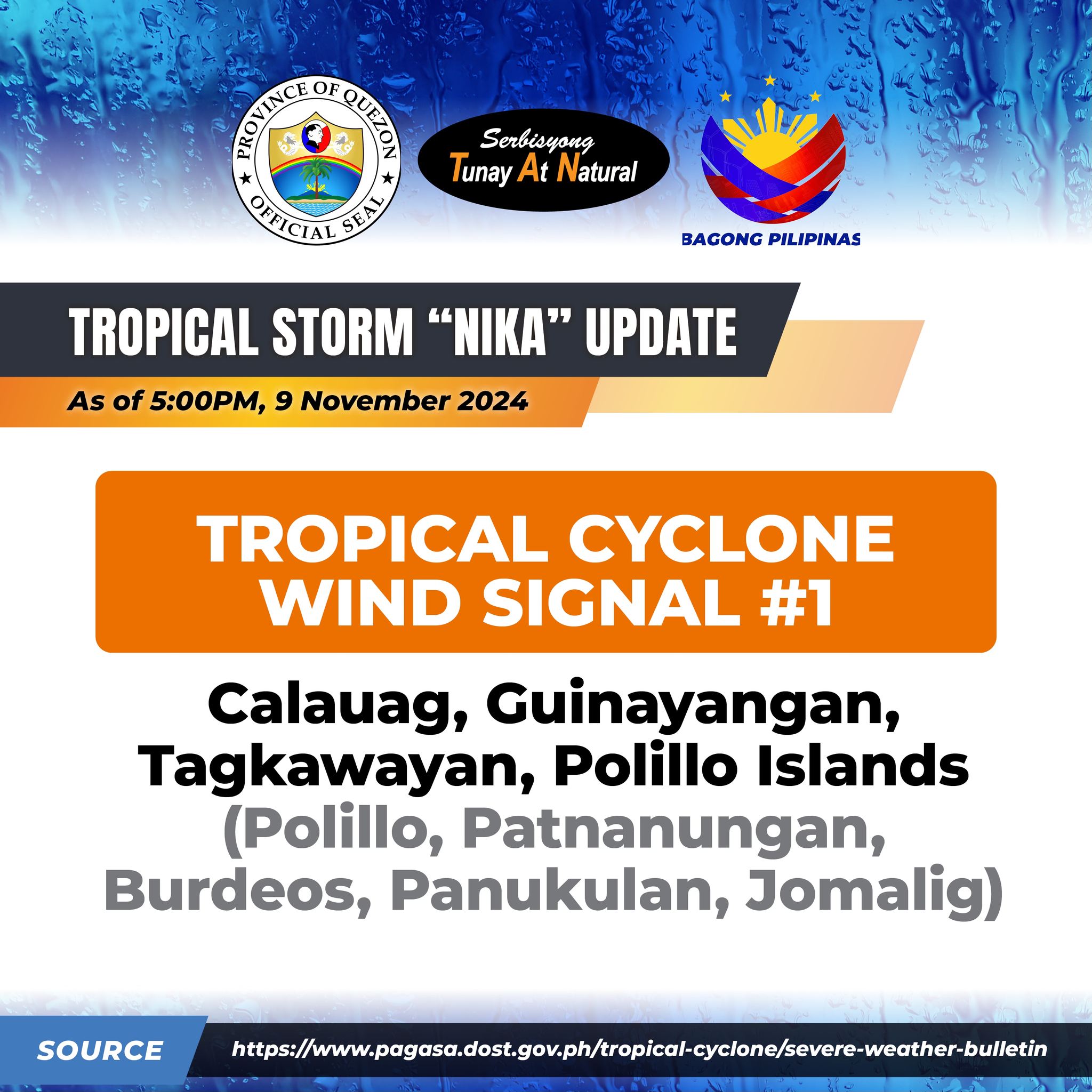
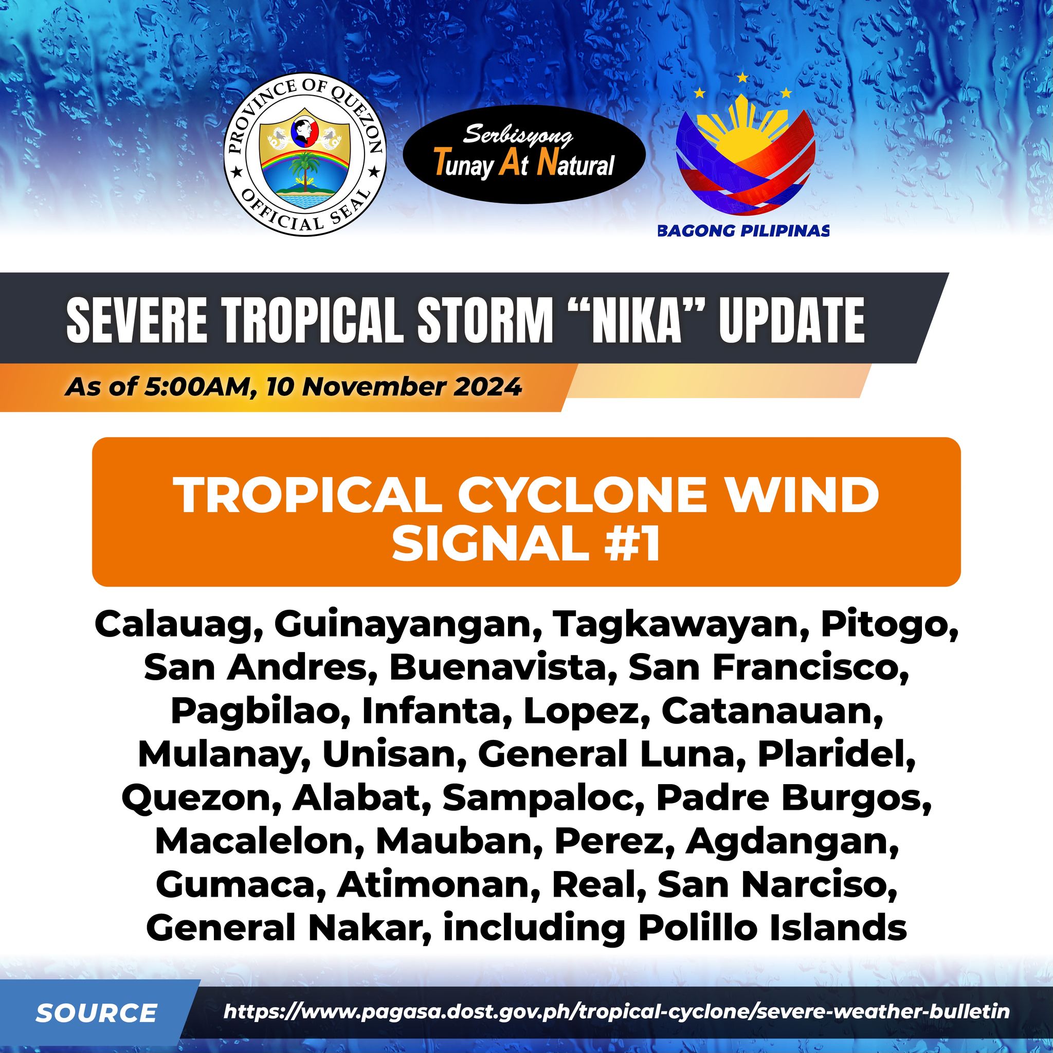
TROPICAL CYCLONE WIND SIGNAL NO. 1
Calauag, Guinayangan, Tagkawayan, Pitogo, San Andres, Buenavista, San Francisco, Pagbilao, Infanta, Lopez, Catanauan, Mulanay, Unisan, General Luna, Plaridel, Quezon, Alabat, Sampaloc, Padre Burgos, Macalelon, Mauban, Perez, Agdangan, Gumaca, Atimonan, Real, San Narciso, General Nakar, including Polillo Islands
TRACK AND INTENSITY OUTLOOK
NIKA is forecast to move generally west northwestward throughout the forecast period. On the track forecast, it may make landfall over Isabela or Aurora tomorrow (11 November) afternoon. Regardless of the position of the landfall point, it must be emphasized that hazards may still be experienced in areas outside the landfall point or within the forecast confidence cone.
This tropical cyclone is currently undergoing rapid intensification and may reach typhoon category today. It may reach its peak intensity prior to landfall. A short period of weakening is expected as NIKA traverses the landmass of Luzon due to land interaction, but NIKA may slightly intensify over the West Philippine Sea but is expected to remain as a severe tropical storm throughout the rest of forecast period.
Quezon PIO