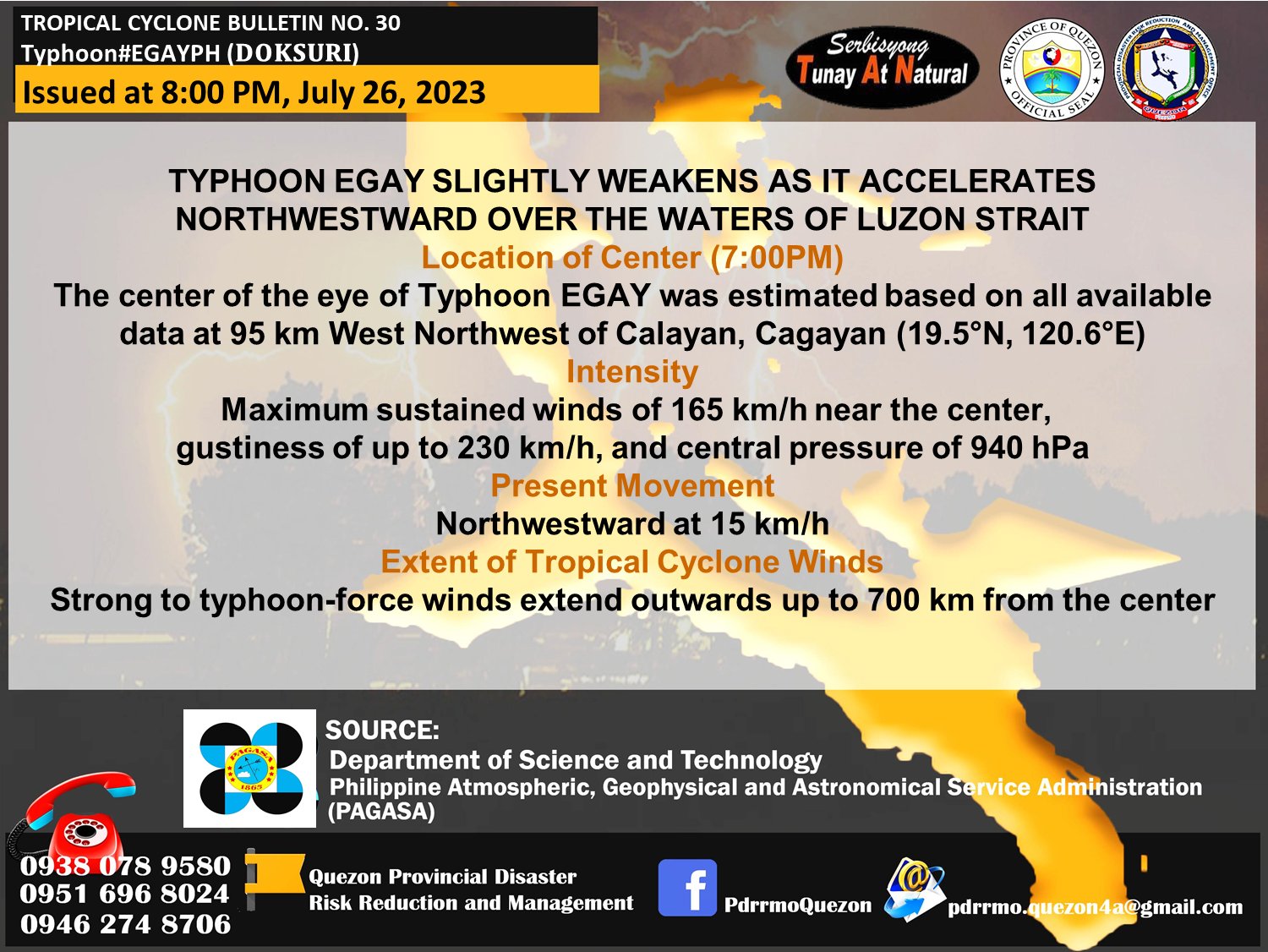
Tropical Cyclone Bulletin No. 30 Typhoon Egay (DOKSURI) | 5:00am – July 27, 2023
𝐕𝐚𝐥𝐢𝐝 𝐟𝐨𝐫 𝐛𝐫𝐨𝐚𝐝𝐜𝐚𝐬𝐭 𝐮𝐧𝐭𝐢𝐥 𝐭𝐡𝐞 𝐧𝐞𝐱𝐭 𝐛𝐮𝐥𝐥𝐞𝐭𝐢𝐧 𝐚𝐭 𝟏𝟏:𝟎𝟎 𝐀𝐌 𝐭𝐨𝐝𝐚𝐲.
TYPHOON EGAY CONTINUES TO WEAKEN OVER THE LUZON STRAIT WEST OF BATANES
𝐍𝐨 𝐓𝐫𝐨𝐩𝐢𝐜𝐚𝐥 𝐂𝐲𝐜𝐥𝐨𝐧𝐞 𝐖𝐢𝐧𝐝 𝐒𝐢𝐠𝐧𝐚𝐥 𝐢𝐧 𝐐𝐔𝐄𝐙𝐎𝐍 𝐏𝐑𝐎𝐕𝐈𝐍𝐂𝐄
Location of Center (4:00AM)
The center of the eye of Typhoon EGAY was estimated based on all available data at 195 km West of Basco, Batanes (20.2°N, 120.1°E)
Intensity
Maximum sustained winds of 150km/h near the center,
gustiness of up to 185 km/h, and central pressure of 955 hPa
Present Movement
Northwestward at 15 km/h
Extent of Tropical Cyclone Winds
Strong to typhoon-force winds extend outwards up to 630 km from the center
The Southwest Monsoon enhanced by EGAY will continue to bring occasional to monsoon rains over the western portions of Central Luzon and Southern Luzon in the next three days
The enhanced Southwest Monsoon will continue to bring gusty conditions over the following areas not under any Wind Signal, especially in coastal and upland/mountainous areas exposed to winds:
• Today: Luzon and Western Visayas
• Tomorrow: Batanes, Ilocos Region, Zambales, Bataan, Cavite, the southern portion of Quezon, MIMAROPA, Bicol Region, and Western Visayas
Under the influence of EGAY and the enhanced Southwest Monsoon, a Gale Warning is in effect over several coastal waters along the seaboards of Luzon.
The typhoon may exit the Philippine Area of Responsibility (PAR) this morning or afternoon.
DOST-PAGASA
https://tinyurl.com/EgayPH
Source: Quezon PDRRMO
