NEWS AND UPDATE

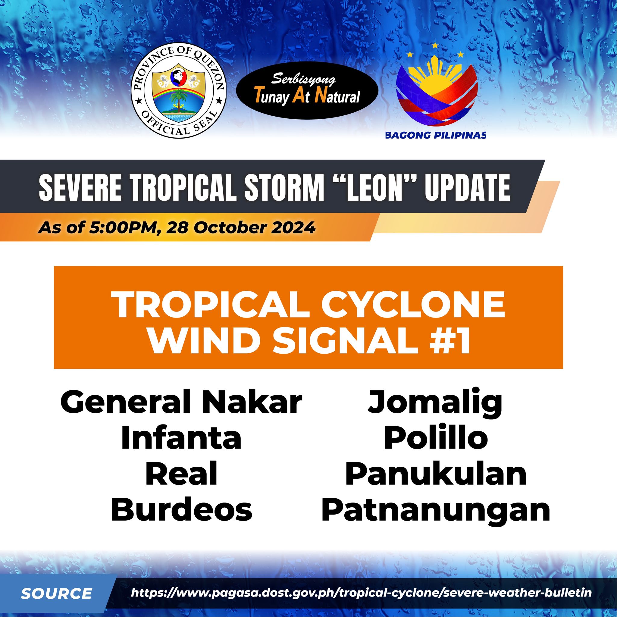
Tropical Cyclone Bulletin #8 Severe Tropical Storm “Leon” Issued at 05:00 pm, 28 October 2024

Tropical Cyclone Bulletin #8 Severe Tropical Storm “Leon” Issued at 05:00 pm, 28 October 2024

“LEON” FURTHER INTENSIFIES OVER THE PHILIPPINE SEA

Location: 725 km East of Echague, Isabela (17.0 °N, 128.5 °E )

Movement: Moving West Northwestward at 15 km/h

Strength: Maximum sustained winds of 100 km/h near the center and gustiness of up to 125 km/h

Tropical Cyclone Wind Signal no. 1

– General Nakar, Infanta, Real, Polillo Islands

LEON is forecast to move west northwestward today through tomorrow (29 October) morning, then turn northwestward until it makes landfall along the eastern coast of Taiwan on Thursday (31 October) afternoon or evening. After crossing the landmass of Taiwan, LEON will then turn to the northeast towards the East China Sea and exit the Philippine Area of Responsibility on Friday morning or afternoon.


Quezon PIO

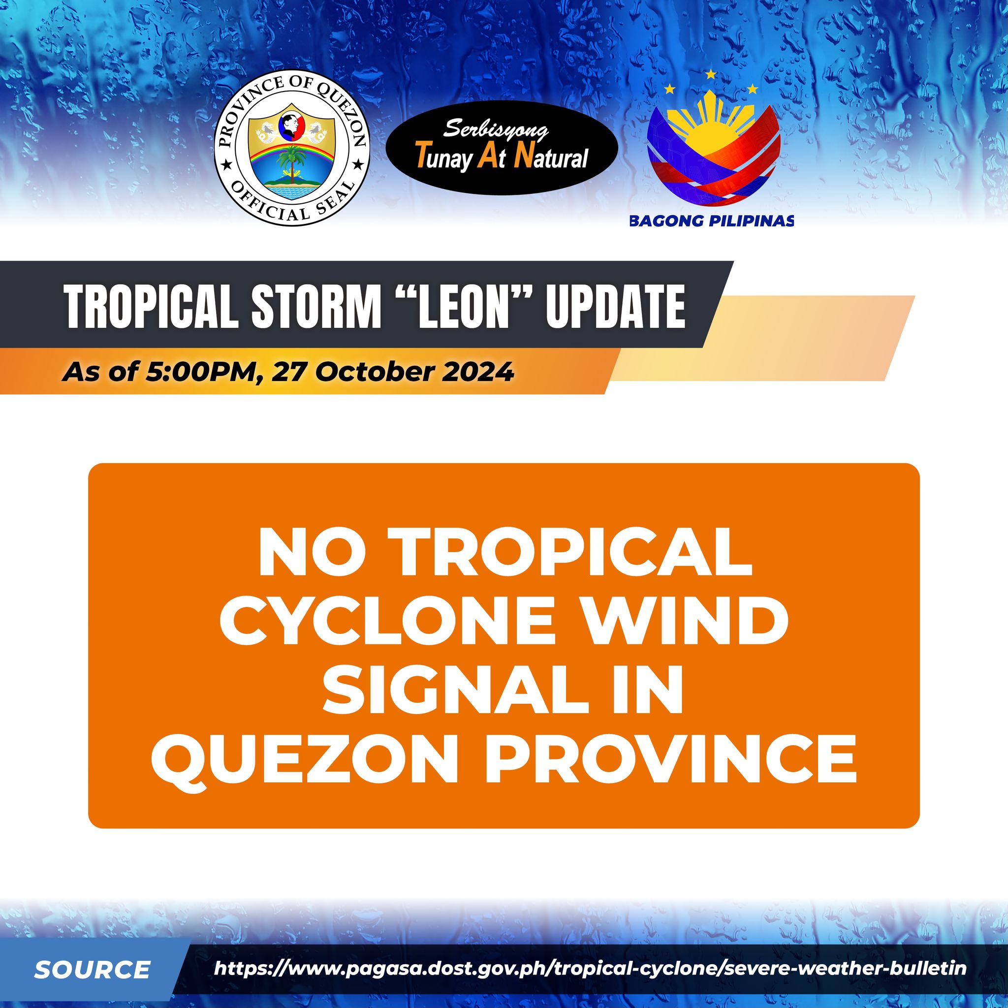
Tropical Cyclone Bulletin #4 Tropical Storm “Leon” Issued at 05:00 pm, 27 October 2024

Tropical Cyclone Bulletin #4 Tropical Storm “Leon” Issued at 05:00 pm, 27 October 2024

TROPICAL STORM “LEON” SLIGHTLY INTENSIFIES OVER THE PHILIPPINE SEA

Location: 1,000 km East of Central Luzon (16.7 °N, 131.5 °E )

Movement: Moving Westward at 20 km/h

Strength: Maximum sustained winds of 75 km/h near the center and gustiness of up to 90 km/h

NO TROPICAL CYCLONE WIND SIGNAL IN QUEZON PROVINCE

LEON is forecast to move westward today before moving generally northwestward from tomorrow (28 October) to Tuesday (29 October), then north northwestward on Wednesday (30 October) and Thursday (31 October). On the track forecast, LEON remains far from the Philippine landmass and may pass very close or make landfall over Taiwan or the southwestern portion of the Ryukyu Islands


Quezon PIO

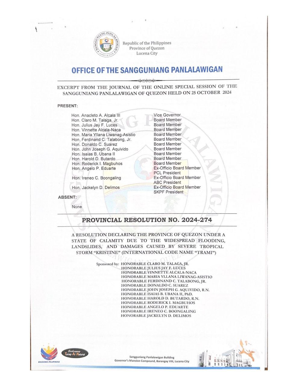
STATE OF CALAMITY ang buong lalawigan ng Quezon sa Bisa ng Sangguniang Panlalawigan ng Quezon | October 25, 2024

STATE OF CALAMITY ang buong lalawigan ng Quezon sa Bisa ng Sangguniang Panlalawigan ng Quezon | October 25, 2024

Isinailalim na sa STATE OF CALAMITY ang buong lalawigan ng Quezon sa Bisa ng Sangguniang Panlalawigan ng Quezon Resolution No. 2024-274, Series of 2024 nitong nakaraang Octuber 25, 2024 sa ginanap na Online Special Session.

Dahil dito, maaari ng magamit ang 30% Quick Response Fund (QRF) upang matugunan ang mga pangangailangan ng ating mga kalalawigan sa pinsalang iniwan ni Bagyong Kristine.

Link: https://www.facebook.com/QuezonGovPh/posts/pfbid02p9JmJzKBqjxq31TGEdUyKN7dr5qJaXWTJc3EiTR1cUMp1LX1Q9NHkmaby8arw73xl?rdid=C7NsnW7I4CaMPWUd


Quezon PIO

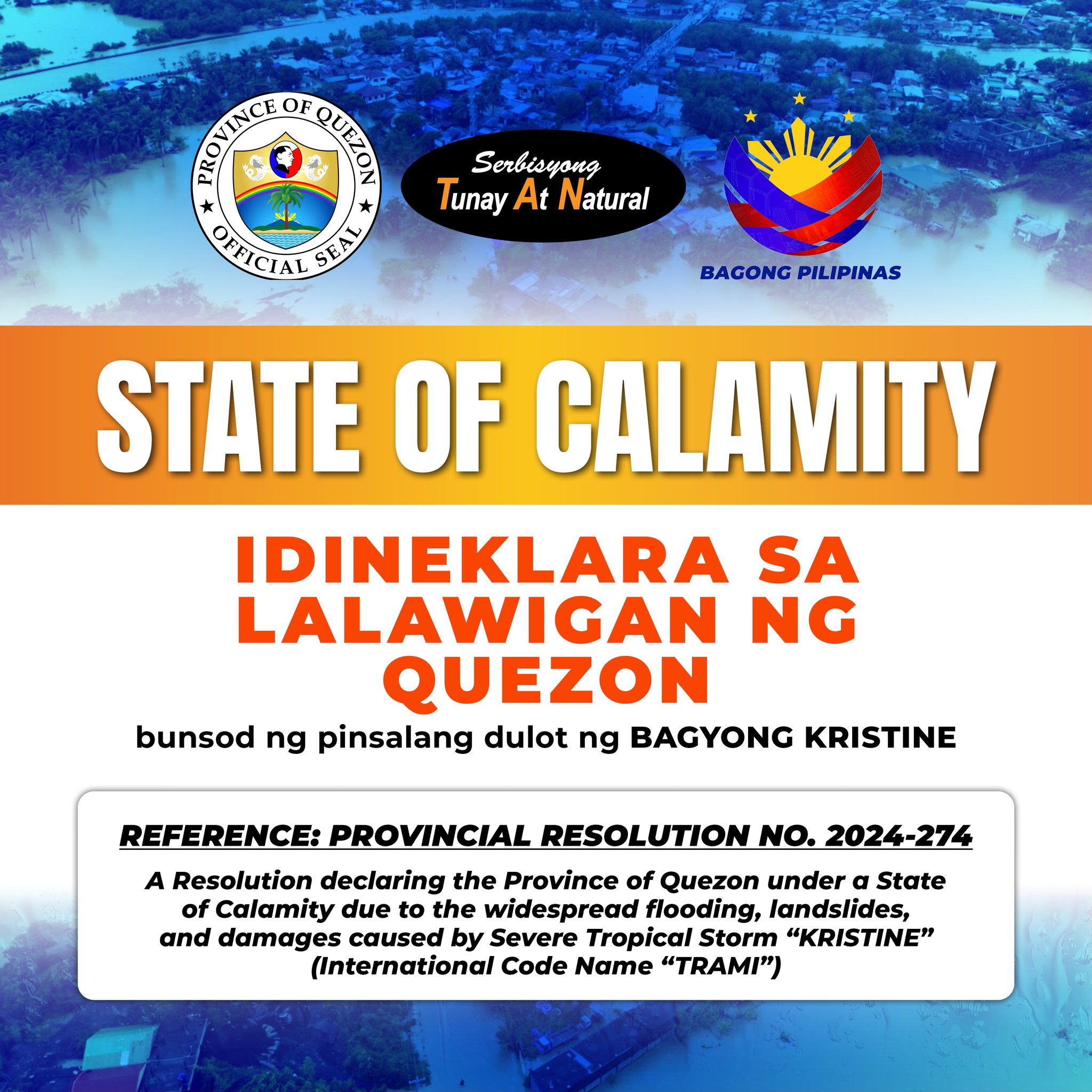
STATE OF CALAMITY Idineklara sa Lalawigan ng Quezon Bunsod ng Pinsalang Dulot ng Bagyong Kristine

STATE OF CALAMITY Idineklara sa Lalawigan ng Quezon Bunsod ng Pinsalang Dulot ng Bagyong Kristine

Reference:

PROVINCIAL RESOLUTION NO. 2024-274

A Resolution declaring the Province of Quezon under a State of Calamity due to the widespread flooding, landslides, and damages caused by Severe Tropical Storm “KRISTINE” (International Code Name “TRAMI”)


Quezon PIO

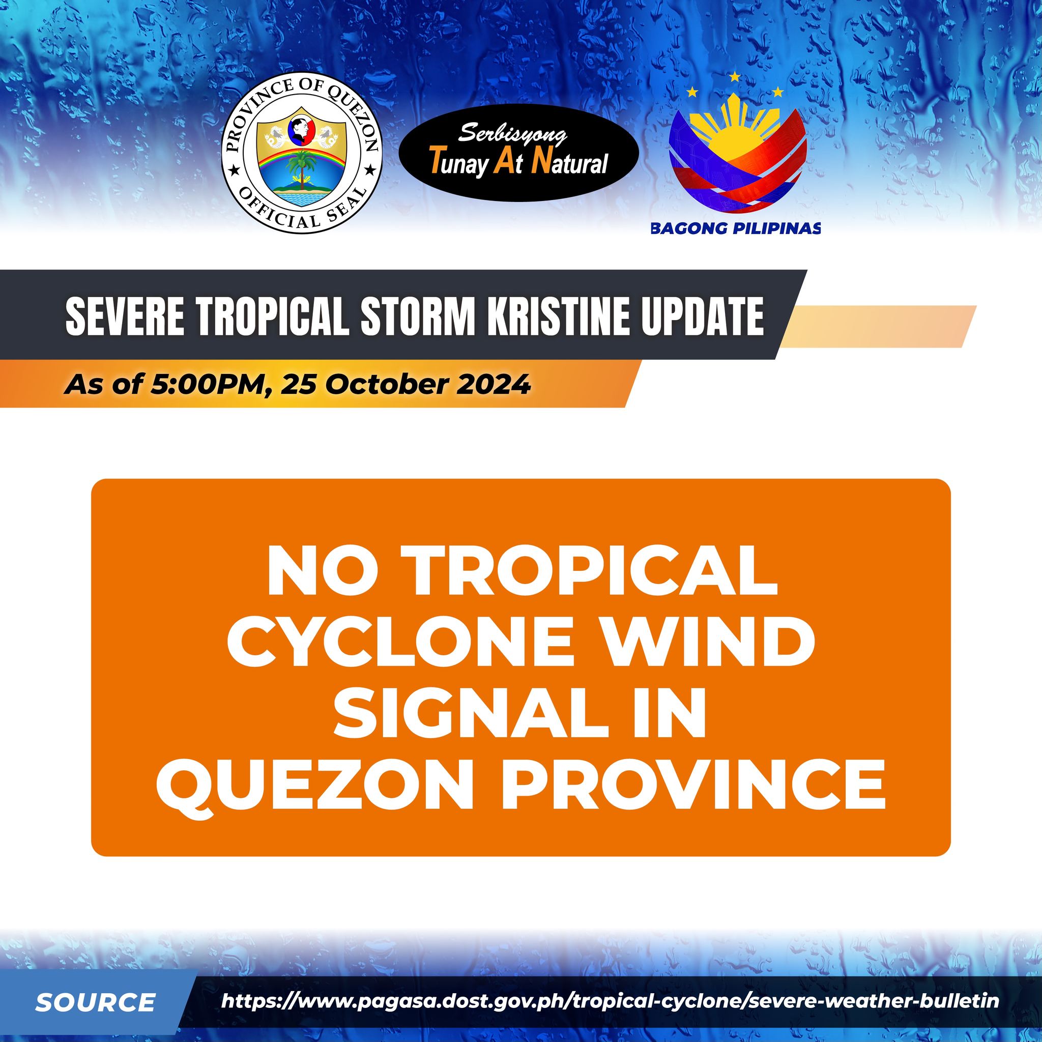
Tropical Cyclone Bulletin #27 Severe Tropical Storm “Kristine” Issued at 05:00 pm, 25 October 2024

Tropical Cyclone Bulletin #27 Severe Tropical Storm “Kristine” Issued at 05:00 pm, 25 October 2024

“KRISTINE” ACCELERATES OUTSIDE THE PHILIPPINE AREA OF RESPONSIBILITY (PAR).

LOCATION: 410 km West of Sinait, Ilocos Sur (OUTSIDE PAR) (17.7 °N, 116.6 °E )

MOVEMENT: Moving West Northwestward at 30 km/h

STRENGTH: Maximum sustained winds of 95 km/h near the center and gustiness of up to 115 km/h

NO TROPICAL CYCLONE WIND SIGNAL IN QUEZON PROVINCE

KRISTINE will continue moving westward over the West Philippine Sea until tomorrow, loop counterclockwise on Sunday and Monday, then move eastward for the remainder of the forecast period. However, this scenario heavily depends on the behavior of the tropical cyclone east of the PAR region and the behavior of other synoptic weather systems surrounding KRISTINE while over the West Philippine Sea.


Quezon PIO

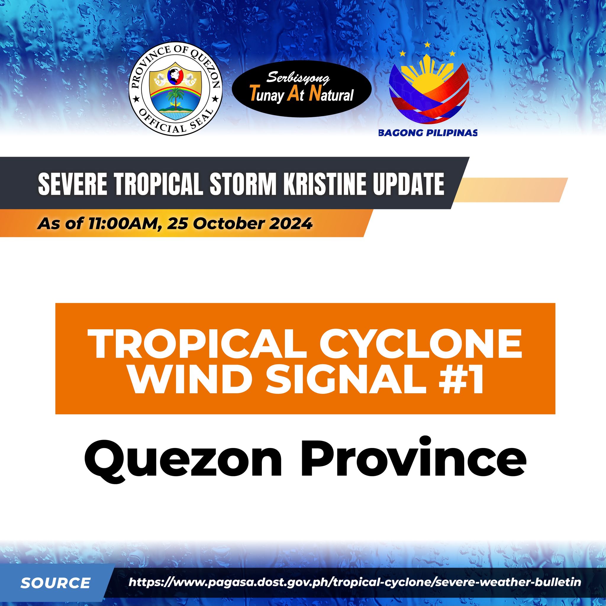
Tropical Cyclone Bulletin # 26 Severe Tropical Storm #KristinePH (TRAMI) 11:00 AM, 25 October 2024

Tropical Cyclone Bulletin # 26 Severe Tropical Storm #KristinePH (TRAMI) 11:00 AM, 25 October 2024

“KRISTINE” IS ABOUT TO EXIT THE PHILIPPINE AREA OF RESPONSIBILITY (PAR)

Location: 255 km West Northwest of Bacnotan, La Union or 255 km West Southwest of Sinait, Ilocos Sur (17.4 °N, 118.1 °E )

Movement: Moving West Northwestward at 15 km/h

Strength: Maximum sustained winds of 95 km/h near the center and gustiness of up to 115 km/h

Tropical Cyclone Wind Signal No.1: QUEZON PROVINCE

KRISTINE is forecast to exit the Philippine Area of Responsibility (PAR) region this afternoon or evening.

In the extended outlook, there is a developing forecast situation wherein KRISTINE will continue moving westward over the West Philippine Sea until tomorrow, loop counterclockwise on Sunday and Monday, then move eastward for the remainder of the forecast period. However, this scenario heavily depends on the behavior of the tropical cyclone east of the PAR region and the behavior of other synoptic weather systems surrounding KRISTINE while over the West Philippine Sea.


Quezon PIO

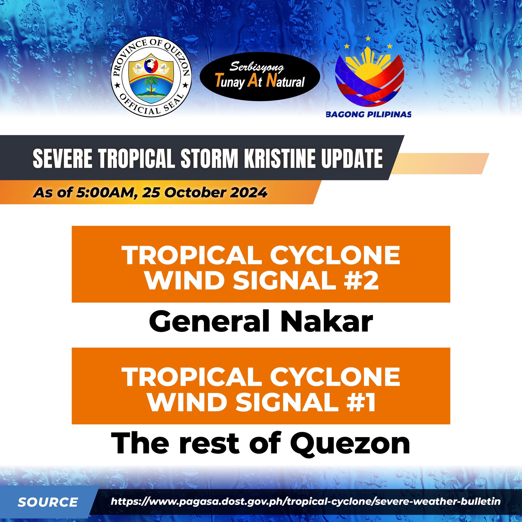
Tropical Cyclone Bulletin No. 25 Severe Tropical Storm #KristinePH (TRAMI) 5:00 AM, 25 October 2024

Tropical Cyclone Bulletin No. 25 Severe Tropical Storm #KristinePH (TRAMI) 5:00 AM, 25 October 2024

“KRISTINE” MAINTAINS ITS STRENGTH AS IT ACCELERATES WEST NORTHWESTWARD OVER THE SEA WEST OF NORTHERN LUZON

LOCATION: 125 km West Northwest of Bacnotan, La Union (17.1 °N, 119.3 °E )

MOVEMENT: Moving West Northwestward at 25 km/h

STRENGTH: Maximum sustained winds of 95 km/h near the center and gustiness of up to 115 km/h

Tropical Cyclone Wind Signal no.2: GENERAL NAKAR

Tropical Cyclone Wind Signal no.1: THE REST OF QUEZON

KRISTINE is forecast to move west northwestward to westward over the next 48 hours and exit the Philippine Area of Responsibility (PAR) region this afternoon.

In the extended outlook, there is a developing forecast situation wherein KRISTINE will be looping over the West Philippine Sea on Sunday and Monday and move generally eastward towards the general direction of the PAR region. However, this scenario heavily depends on the behavior of the tropical cyclone east of the PAR region.


Quezon PIO